Suburbs We Buy In
Explore Brisbane suburbs through the streets, schools and recent sales that matter when you’re deciding where to buy.
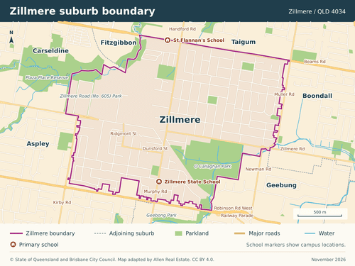
Annerley, QLD 4103
Walk down Waldheim Street from Annerley Library to Junction Park State School. If you’re buying across Ipswich Road, try that crossing at school time.
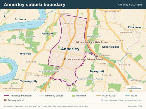
Aspley, QLD 4034
Which side of Gympie Road suits your morning? Helena Street is handy for Aspley East State School, while the Hypermarket puts groceries and the bus interchange together.
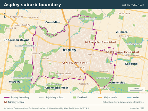
Bardon, QLD 4065
The hill matters in Bardon. Try the walk home from junior football at Bowman Park or the Sunday market at Norman Buchan Park before you settle on a street.
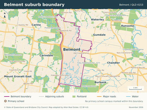
Belmont, QLD 4153
A backyard on Cassandra Crescent and acreage on London Road are two very different buys. How much land would you use, and how much would you spend Saturday mowing?
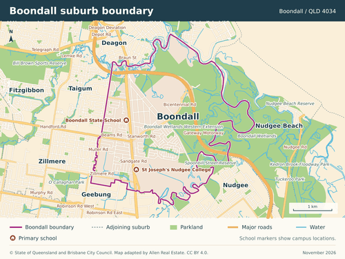
Boondall, QLD 4034
Start on Stanworth Road for the walk to Boondall station, or Roscommon Road for the primary school. For a weekend in the wetlands, look for the entrance on Paperbark Drive.
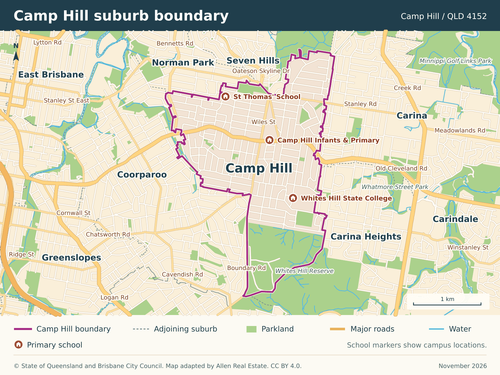
Camp Hill, QLD 4152
Breakfast on Martha Street or a morning on the bush tracks at Whites Hill Reserve? The hills and crossings can decide which becomes a regular walk from home.
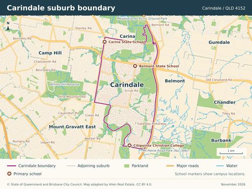
Carindale, QLD 4152
Carina State School and Belmont State School both have Carindale addresses. Between school visits, try the Bulimba Creek bikeway or time the walk to your bus platform at Westfield.
Chermside West, QLD 4032
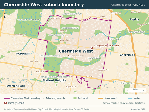
Craigslea’s primary and high schools share a Hamilton Road address. Walk to both gates at pick-up time to see which streets work for children at different schools.
Coopers Plains, QLD 4108
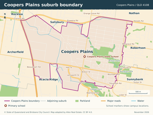
The railway divides the older Orange Grove neighbourhood from industrial streets to the west. A weekday inspection around Boundary Road gives you a feel for truck and train noise.
Coorparoo, QLD 4151
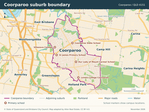
An apartment near the cinema at Coorparoo Square or a house with a garden up the hill? Recent sales give you a starting point for pricing each option.
Everton Park, QLD 4053
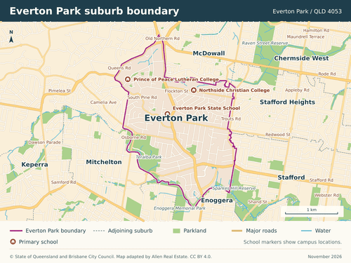
At Teralba Park, kids can ride straight onto the Kedron Brook Bikeway. For dinner on foot, try the walk home from Everton Plaza on South Pine Road.
Ferny Grove, QLD 4055
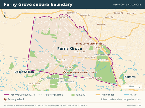
If you commute by train, walk uphill from the terminus to the house you’re considering. For the school run, start around McGinn Road and Finvoy Street instead.
Keperra, QLD 4054
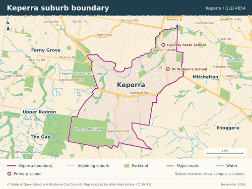
Grovely is part of Keperra. Around Dawson Parade you’ll find postwar houses, two primary schools and a station. Farther west, the Great Western shops and bush trails shape the search.
McDowall, QLD 4053
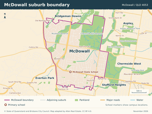
Want to live near a playground? At Bisset Place Park the play equipment is on the Sinatra Crescent side. At McDowall Reserve, look for the entrance on Stallone Circuit.
Moorooka, QLD 4105
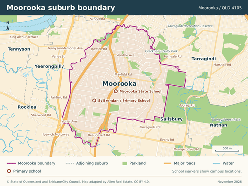
Along Beaudesert Road you can pick up groceries and sit down for Ethiopian food. Look towards Mayfield Road if a weekend walk in Toohey Forest is more your speed.
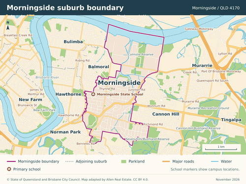
Morningside, QLD 4170
Just $25,000 separated a three-bedroom townhouse on Ison Street from a three-bedroom house on Moolabar Street. The townhouse had a second bathroom. The house had a 405 m² block.
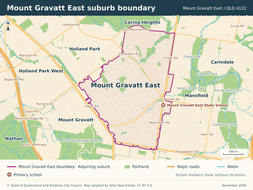
Mount Gravatt East, QLD 4122
Carrara Street is handy for a quick shop, and Newnham Road has the school and pool. When inspecting a house above Creek Road, step outside to hear how far the traffic carries.
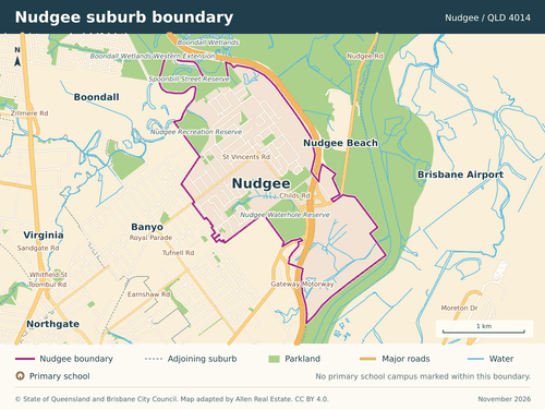
Nudgee, QLD 4014
For a house near the train, explore the older streets around Hayden Street. For an after-school ride, see how the kids would get to the pump track at Nudgee Recreation Reserve.
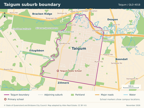
Taigum, QLD 4018
How much outdoor space does your budget buy? Compare townhouse courtyards around Handford Road with the backyards of detached homes on Cassia Place and Ghostgum Close.
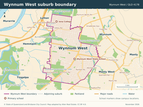
Wynnum West, QLD 4178
Lindum station and Iona College draw buyers to one pocket, Wynnum Plaza and the state school to another. The wetland walks start on Sandy Camp Road.
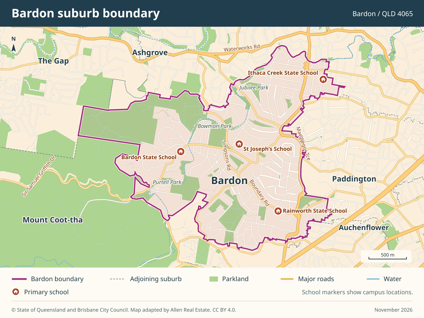
Zillmere, QLD 4034
Saturday sport at O’Callaghan Park, a library visit or a pie on Handford Road can all be part of one outing. See which streets let you leave the car at home.